Our services.

Spreading, Spraying & Seeding
Drone technology is transforming the way we manage crops and land. With precision spraying, drones deliver fertilisers, herbicides, and pesticides exactly where they’re needed, reducing waste and minimising crop damage. Spreading systems allow for accurate application of granular fertilisers, cover crops, and soil amendments, while seeding capabilities make establishing pastures or cover crops faster and more efficient—even in wet, steep, or hard-to-reach areas. The result is safer, smarter, and more cost-effective operations across all types of farming.

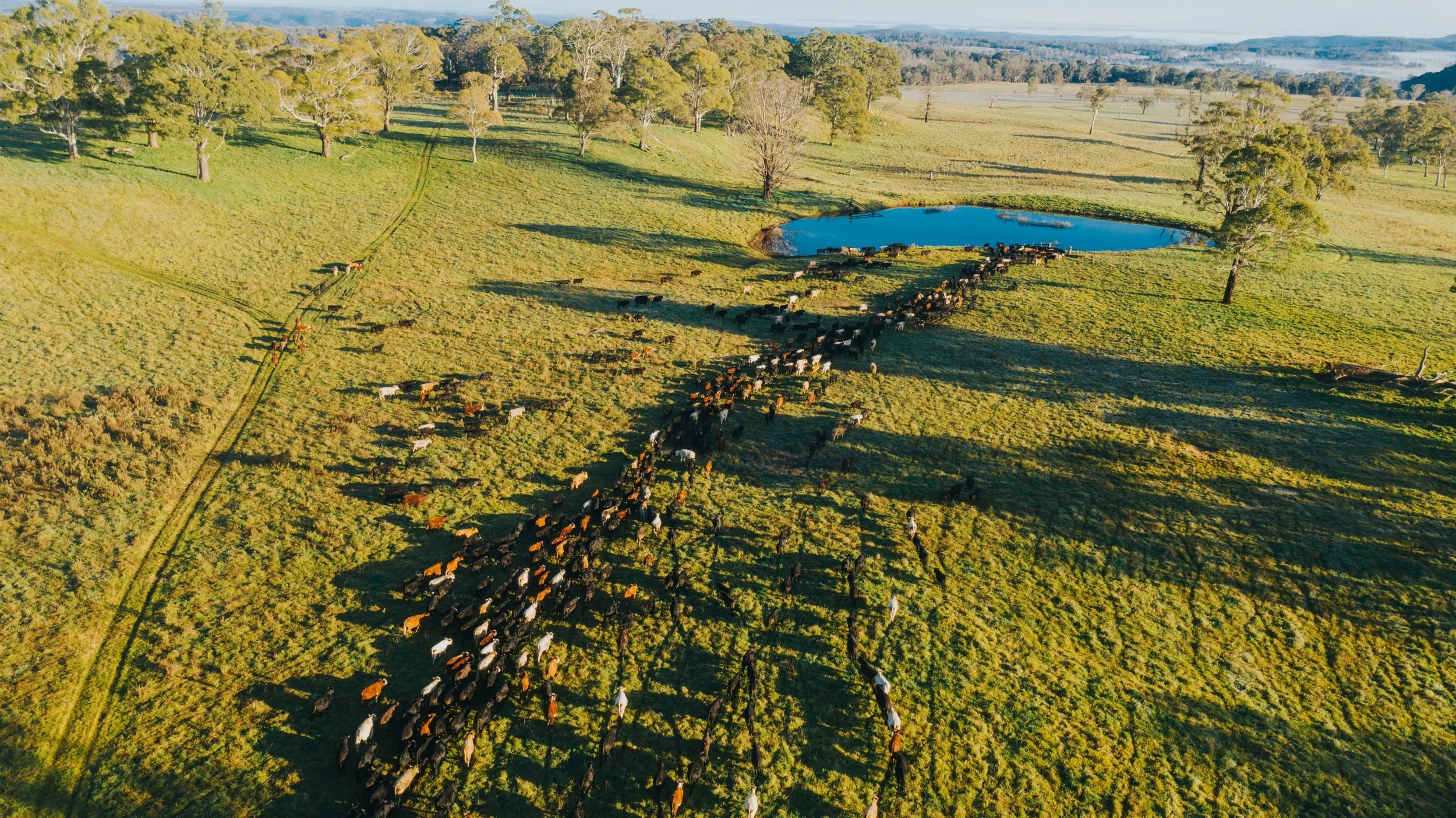
Livestock Managment
Drones provide a faster, safer, and more efficient way to monitor and manage livestock across large or difficult terrain. From checking stock numbers and locating animals to inspecting fence lines and water points, drones reduce the need for long hours on motorbikes or vehicles, cutting fuel and labour costs. Thermal imaging and live video feeds also make it easier to spot stock in dense bush or during mustering. The result is improved animal welfare, reduced stress on both stock and staff, and greater efficiency across day-to-day operations.
Drone Mapping
Drone mapping gives farmers and land managers a clear, real-time view of their crops and paddocks. High-resolution aerial maps help identify variations in crop health, soil conditions, and weed pressure, enabling data-driven decisions that save time and inputs. From orchard canopy analysis to broadacre crop monitoring, drone mapping delivers insights that improve yields, support precision farming, and reduce costs—all while covering large areas quickly and safely.